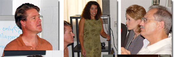
CERSER :: Center of Excellence in Remote Sensing Education and Research
inddwn1CERSERmenuspacer01inddwn1Satellite Imagesmenuspacer01inddwn1Partnersmenuspacer01inddwn1menuspacer01inddwn1ECSUmenuspacer01
spCenter of Excellence in Remote Sensing Education and Research
Elizabeth City State Universitysp
sp


sp
Community Viz Training for Pasquotank County Local Government

Pasquotank County Government employees and ECSU personnel were introduced to plans and software being utilized for the Pasquotank River Watershed on October 8, 2003 at the ECSU Center of Excellence in Remote Sensing Education and Research (CERSER) laboratory.
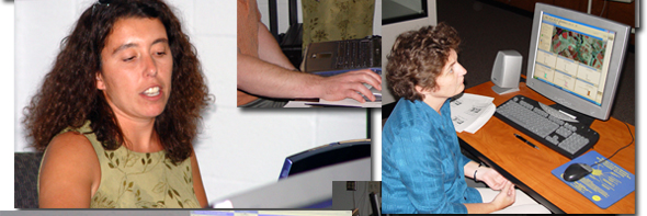
Community Viz is a software package that operates on ArcView and has been customized with Pasquotank River Basin natural and cultural resource vector data. Pasquotank County and NC Dept of Environmental and Natural Resources Wetland Restoration Program staff learned to use Community Viz software to identify habitats in the Pasquotank River Local Watershed for restoration.
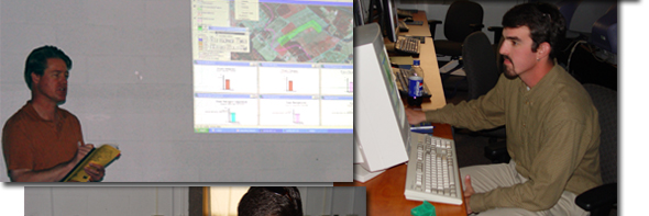
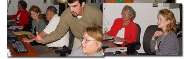
Training included:

  • Introduction to the Local Watershed Planning process undertaken for the Pasquotank River Watershed - Bonnie Duncan, NC Wetlands Restoration Program
  • Introduction and versatility regarding the Community Viz software - Chuck Donley, Community Viz In-Field Trainer
  • Community Viz Pasquotank Rehabilitation Model application, exercises and hands on training - Chuck Donley, Helen Furr and Rob Sawyer.

Further information:
The Pasquotank River Local Watershed Planning Initiative
Project Personnel Qualifications & Unique Qualifications
Community VIZ Training for Pasquotank County


sp
sp
 
 NASA Grant #NCC5-0533  |    NASA Grant #NAG5-9371  |   NASA Grant #NAG5-9372
  ONR Grant #N00014-11-0529   |   ONR Grant #N000014-01-1070   |    NOAA Agreement #41-AA-NE-111238
CERSER    POB 672 ECSU   ELIZABETH CITY, NC 27909   vox: 252.335.3992   fax: 252.335.3572